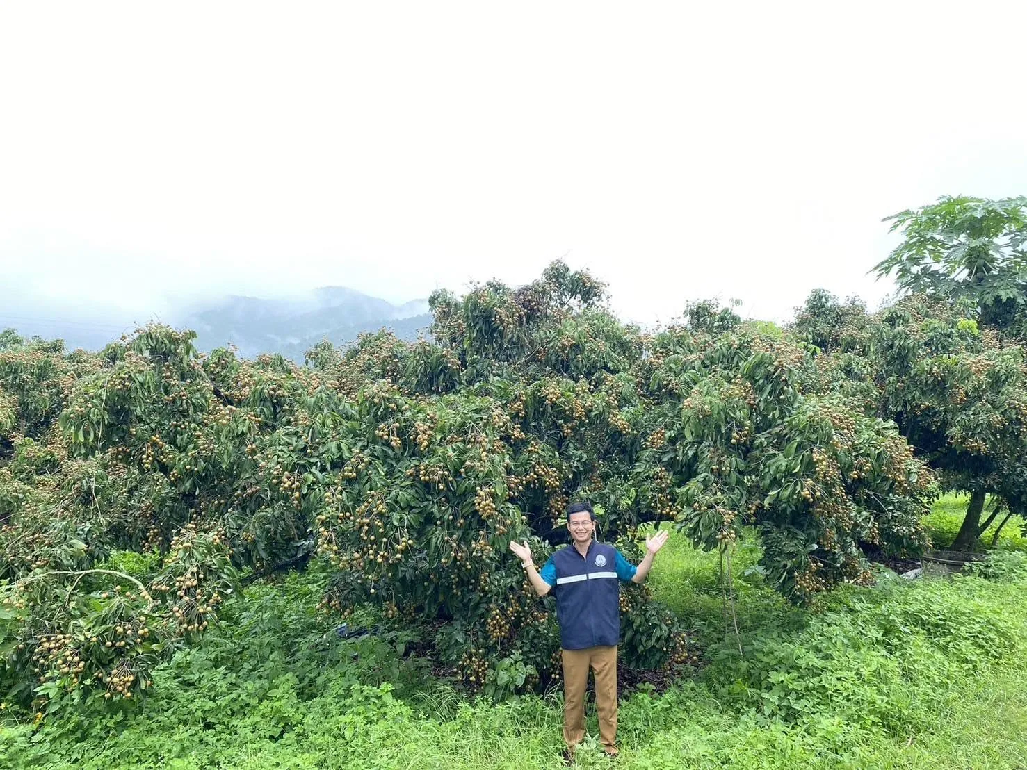
During September 18–22, 2026, Mrs. Thunphitcha Theraratchanon, Director of the 2nd Regional Office of Agricultural Economics (Director of ROAE2), assigned Mr. Phutthasak Ritkham, Photomap Technical Officer, to conduct a field survey of standing longan tree areas for 2026 in Tak Province utilizing Geo-informatics technology under the Information Formulation to Support Provincial Agricultural Commodity Management Project for Fiscal Year 2026.
ROAE2 applied Geo-informatics to analyze and survey the 2026 standing longan area in Tak Province by interpreting and analyzing satellite data from LANDSAT 8 OLI/TIRS and Sentinel-2. The process classified land cover types based on spectral reflectance across distinct wavelengths, integrated with image interpretation elements including shape, size, pattern, texture, tone/color, shadow, geographic location, and spatial association with neighboring land. Preliminary interpretation results were cross-checked for accuracy against high-resolution satellite imagery on Google Earth and overlaid onto the 2026 Longan Land Suitability Map to maximize data precision and efficiency.
The resulting operational report serves as a practical framework for applying geo-informatics technology to regional agricultural missions and provides vital situational data on longan production for relevant agencies and stakeholders. ROAE2 and the Office of Agricultural Economics (OAE) reaffirmed that all missions strictly uphold statistical principles, professional ethics, data quality standards, and data neutrality.
Photo/News: Public Relations Working Group, ROAE2 Phitsanulok